Students Investigate Urban Tree Canopy
Students Investigate Urban Tree Canopy
Students continue project-based learning collaboration to investigate urban tree canopy in Paterson NJ
 Following the collaboration started in 2022 with The Nature Conservancy, students in Dr. Zachary Christman's 'Drones, Planes, and Satellites' course continued and expanded the investigation of spatial and socioeconomic inequities of urban vegetation, with a new focus on Paterson New Jersey.
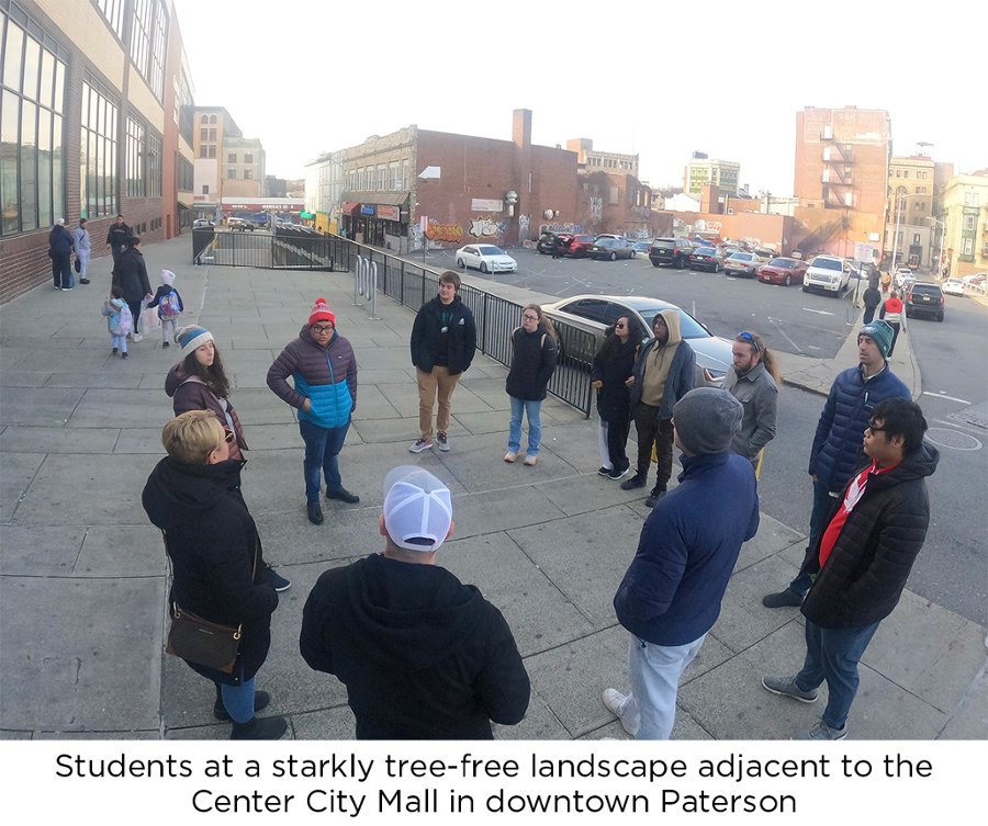
Throughout the semester, they explored the patterns of vegetation and temperature using imagery from the Landsat 8 and 9 Operational Land Imager (OLI) and Thermal Infrared Sensor (TIRS), along with the National Aerial Imagery Program and newly acquired high-resolution imagery from the Airbus Pléiades sensor. These images contributed to a multiscalar analysis that highlighted the concentration of vegetation (trees, grass) within urban parks, with very little spread over the residential and commercial sectors of the city.
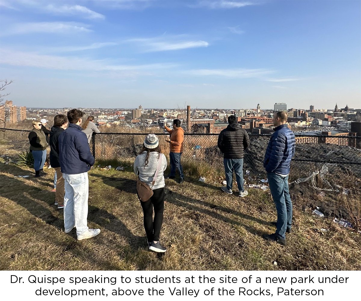
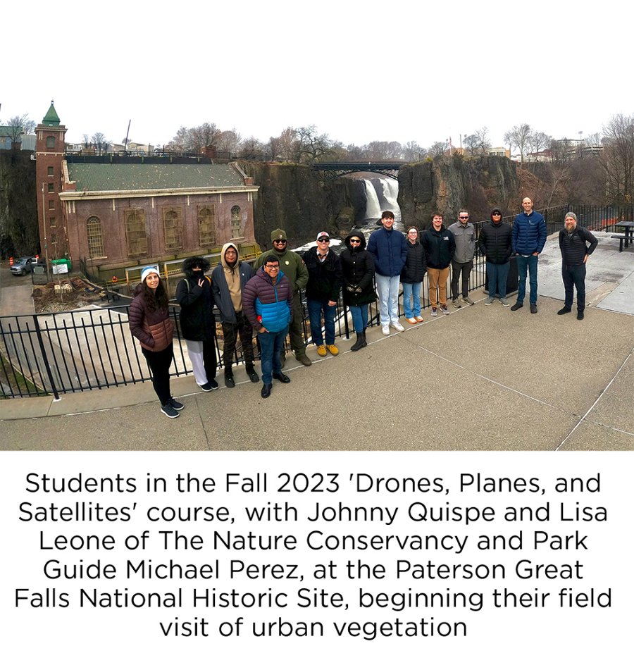
On December 8, students met Johnny Quispe and Lisa Leone of The Nature Conservancy at Paterson Great Falls National Historic Park and conducted a walking tour of the coming improvements to this urban green space and waterway, as well as a driving tour of the varied urban landscape of Paterson. Information from this field visit will be compiled into a report highlighting change in Paterson and comparison with Newark, and integrated into a broader study of patterns of vegetation inequities across New Jersey.