Urban Canopy Loss
Urban Canopy Loss
GIS students leverage remote sensing and field observation to study urban canopy loss in Newark NJ
Students in Dr. Zachary Christman's 'Drones, Planes, and Satellites' class have had unique semester combining the skills and perspectives of remote sensing with the application and interpretation of analysis of urban vegetation change in Newark, New Jersey. Funded by and in collaboration with The Nature Conservancy, this project-based learning initiative introduced the pressing issue of urban tree canopy loss in Newark, guided students through methods used to investigate this phenomenon, applied their methods to the available satellite and aerial imagery, and culminated with a field visit to Newark.
 The city of Newark has experienced widespread recent tree loss, in part, because there was no comprehensive assessment of its coverage and impact. Loss of urban canopy, either through removal or displacement by new development, can exacerbate climate-related hazards like flooding and urban heat retention. The wide disparities in the urban canopy and access to green spaces lead to inequities in the experiences of residents and the environmental risks they bear.
In the classroom, students made extensive use of the 50-year record of the Landsat program, focusing on recent imagery from the Landsat 8 and Landsat 9 Operational Land Imager and Thermal Infrared Sensors dating to mid- and late-summer 2019 and 2022. They prepared this imagery into vegetation and temperature composites summarized at the city-wide, ward, and neighborhood levels to identify the changes in greenness and the associated impacts on the urban temperatures experienced across the city. The latest statewide imagery from the National Agricultural Imagery Program dates to 2019, and The Nature Conservancy wanted to illustrate changes that have happened since then. TNC brokered the acquisition of four-band Pléiades Neo imagery from Airbus, at a resolution of 0.3m/pixel, enabling the identification of individual tree loss from the municipal tree management and the calculation of high-resolution vegetation indices.
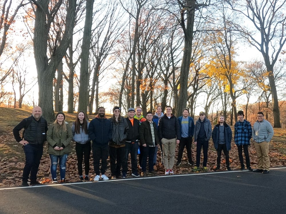
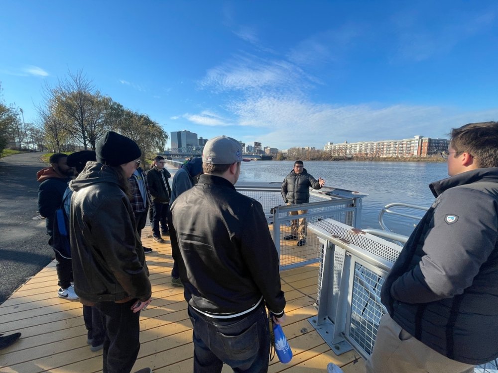
Following their initial exploration in class, students visited Newark on December 2nd to see first-hand the varied urban conditions and evidence of recent changes. They met with Dr. Johnny Quispe of The Nature Conservancy and together targeted several locations of observed loss and planned investments in new greenspace across Newark. Their observations and the analysis stemming from this course will be compiled into a report to aid recommendations by The Nature Conservancy to Newark municipal officials to aid in the planning of improved and expanded urban canopy and green infrastructure to combat the impeding effects of climate-related changes on the city.

Photos:
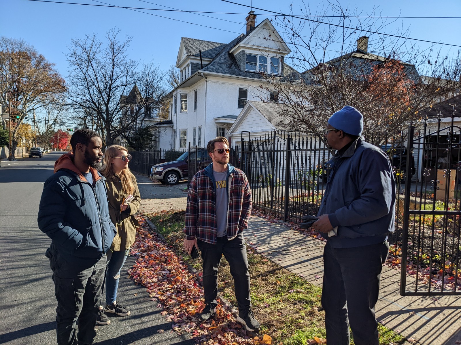
- DPS students Ibrahim Waziri, Renee Wolf, and Jesse Weber talking with Charles, a Newark Resident (photo credit Joseph Conte)
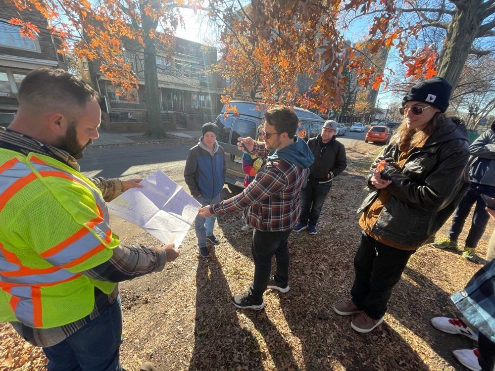
- DPS students talking with Darren Bodogh of Asplundh Tree Experts about maps used in municipal tree maintenance (photo credit Zachary Christman)
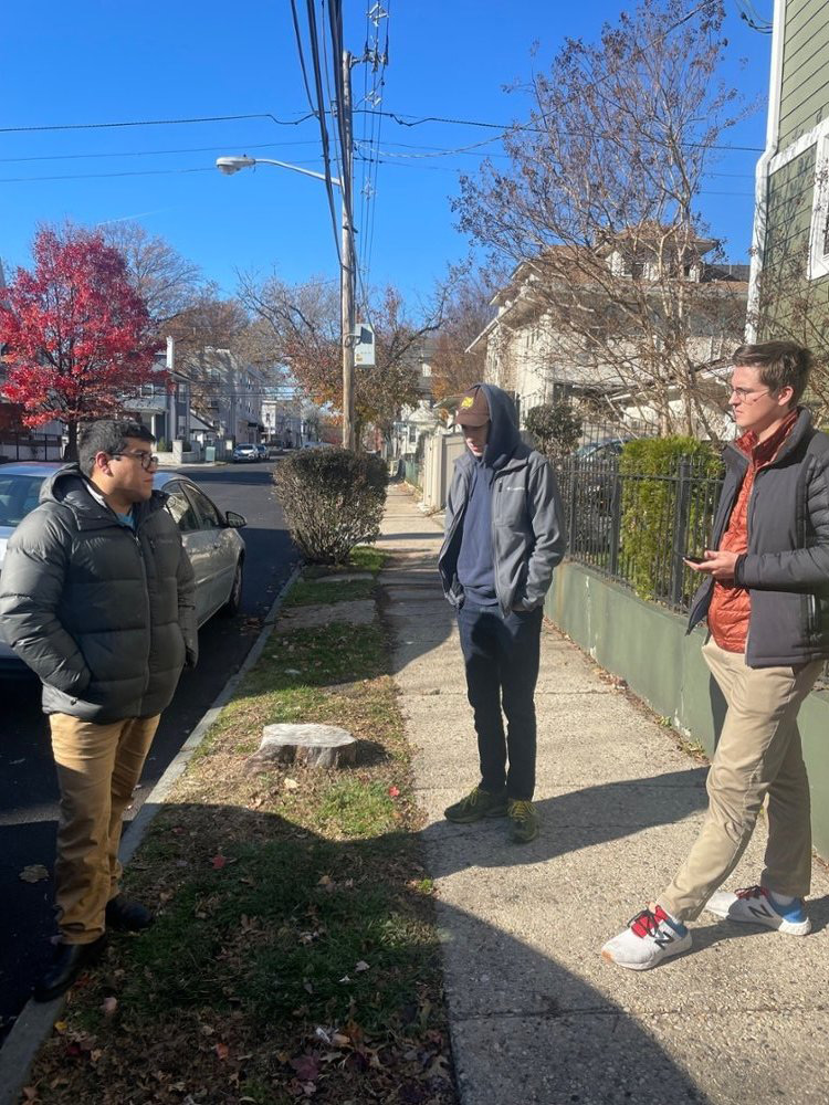
- Dr. Quispe with DPS students Graham Luther and Joe Sokolowski at site of recent tree loss in Newark, NJ (photo credit Zachary Christman)
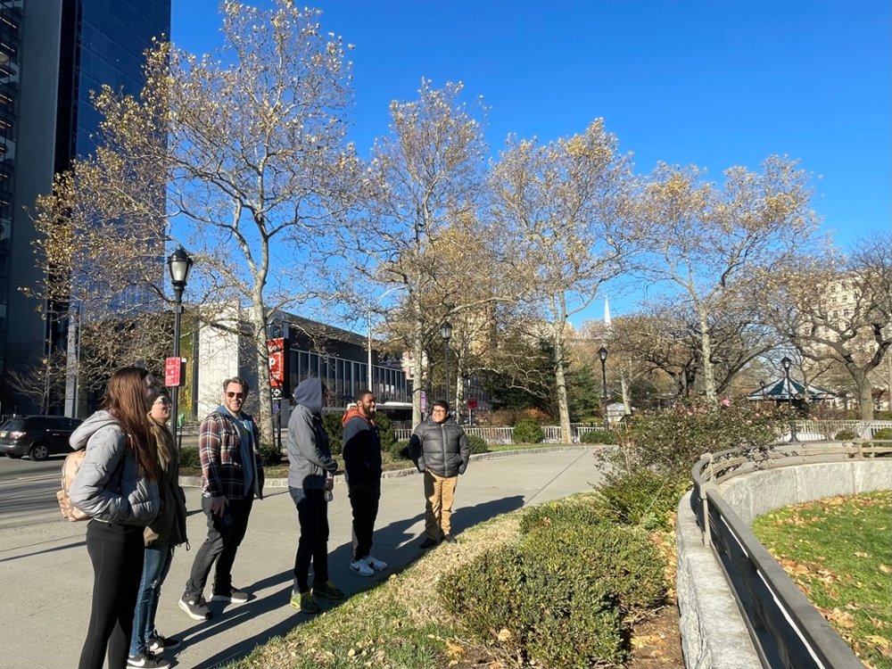
- Dr. Quispe and Dr. Christman talking with DPS students in Riverbank Park, Newark (photo credit Jesse Weber)
- Dr. Quispe talking with DPS students in Military Park, Newark (photo credit Zachary Christman)
- Students in Drones, Planes, and Satellites course with Dr. Christman and Dr. Quispe in Weequahic Park, Newark (photo credit Zachary Christman)
- Dr. Quispe talking DPS students in by Passaic River (photo credit Zachary Christman)