GIS Students Navigating Opportunities
GIS Students Navigating Opportunities
These students are navigating opportunities with GIS!
Several students leveraged their experiences in advanced GIS courses to secure opportunities to expand their perspectives and apply their skills.
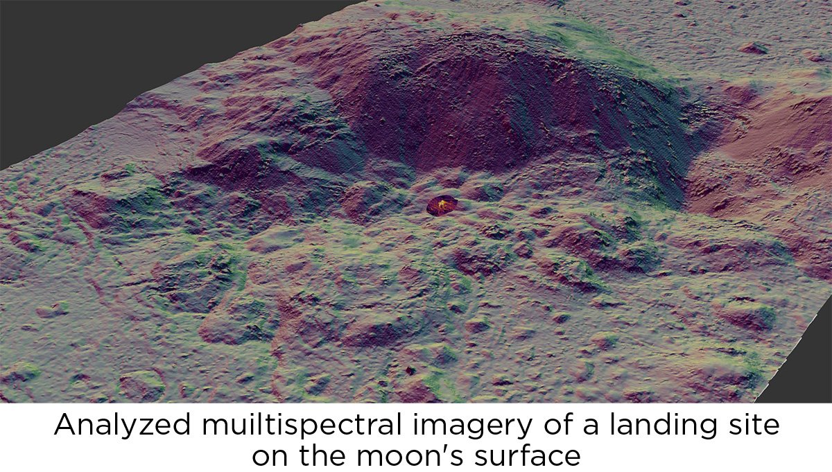
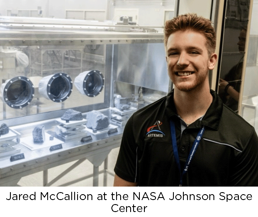 GIS student and mentor Jared McCallion (BS Geographic Information Science and BS Disaster Preparedness and Emergency Management anticipated May 2024) spent the summer of 2023 in Houston, Texas working with the Lunar and Planetary Institute in collaboration with the NASA Johnson Space Center with the DEVELOP program. During the internship, he worked to analyze remotely sensed data of the lunar surface from instrumentation onboard the Lunar Reconnaissance Orbiter. In his research, he characterized the morphometric properties of previously successful lunar landing sites, in order to develop characteristics that may be used in future missions. “We were given the opportunity to tour various facilities at the Johnson Space Center, engage in hands-on planetary science research, and network with students and mentors with similar scientific interests”. Jared will present his research at the Lunar and Planetary Science Conference in the Spring of 2024, and plans to pursue graduate studies in remote sensing and planetary science.
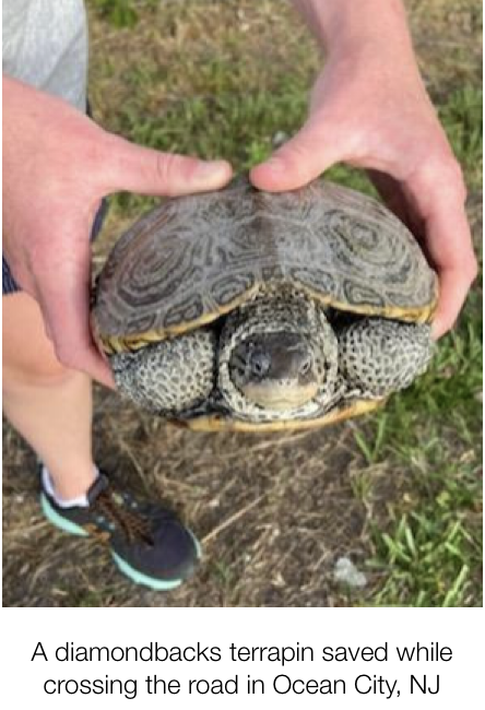
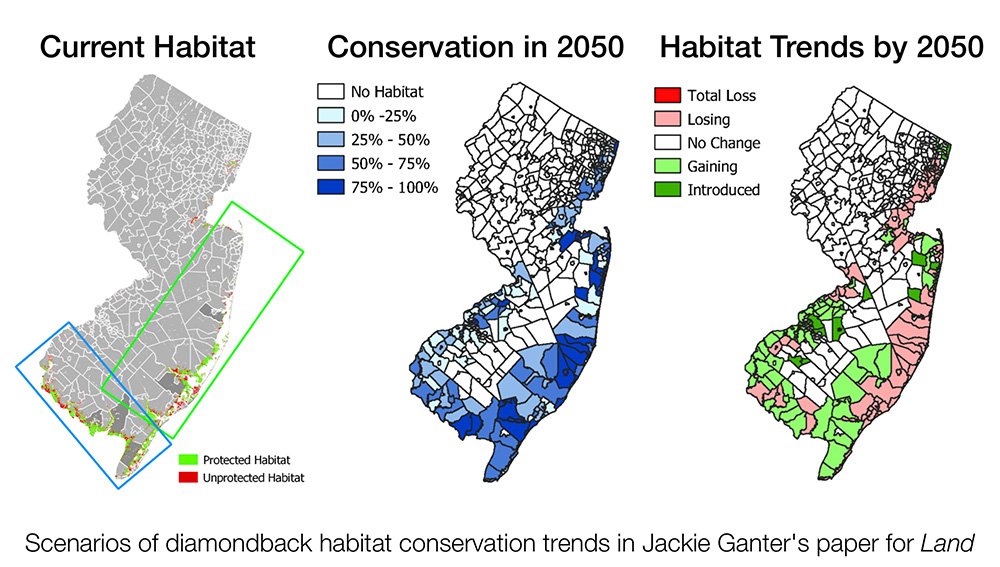
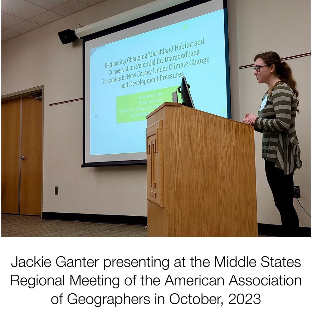 Another GIS Mentor, Jackie Ganter (BS Geographic Information Science and BS Biological Sciences anticipated May 2024) was awarded the School of Earth and Environment Dean's Summer Research Funding for her student-led research project, "Estimating changing marshland habitat and conservation potential for diamondback terrapins in New Jersey under climate change and development pressures," in which she modeled terrapin habitat based on sea level rise and migration/accretion scenarios for 2050 and 2100. In July, she and Dr. Christman met with several members of the New Jersey Department of Environmental Protection Division of Science and Research, Bureau of Environmental Assessment Wetlands Research Team to present her initial results and seek their feedback and guidance. In October, she submitted an abbreviated 10-page written paper of this work and presented an oral version of the presentation in the Middle States Regional Meeting of the American Association of Geographers Student Paper competition and was awarded Best Undergraduate Student Paper, earning $1000 travel support to future national AAG meetings. She also worked with Dr. Christman to author a full-length manuscript under a special issue on "Modeling Biodiversity and Landscape Conservation Planning" of the journal Land, which has been accepted for publication and is now in press.
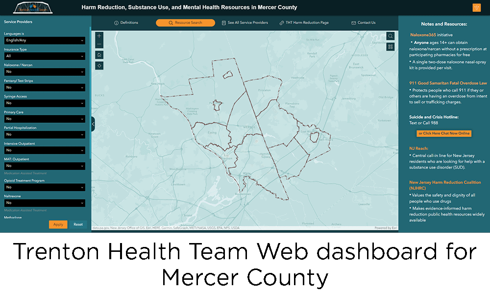
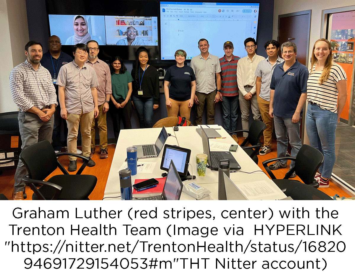 GIS Mentor Graham Luther (BS in Geographic Information Science and BS in Community and Regional Planning, anticipated December 2024) interned with the Trenton Health Team (THT), a non-profit dedicated to improving the well-being of Trenton and Mercer County by partnering with the community to address issues like cost effective healthcare, housing quality and food security. Graham was a GIS intern working with THT’s data analysts. He worked on a variety of projects including analyzing census data, examining redlining in Trenton, and creating a map of harm reduction services in Mercer County. Graham and another student, Jesse Weber (BS in Geographic Information Science, anticipated December 2023) continue work with Dr. Christman on two projects funded by the South Jersey Institute of Population Health, on similar community dashboards to support resources for the opioid epidemic and subsidized housing in Camden, New Jersey, with collaborators at Hopeworks, Rutgers-Camden, and Rowan.

The GIS Mentor program, coordinated by Dr. Ashley York, is a peer support initiative, in which experienced students offer help sessions and one-on-one guidance for students at all stages of the program on the methods and interpretations of their assignments and final projects. To seek support of the mentors. For questions about the program, contact Dr. York at yorka@rowan.edu, or to register for assistance, scan the QR code.
