Department Staff
Department Staff
Department Staff
Daniel DantinneAdministrative Assistant Dan Dantinne is the office administrator for the Department of Geography, Planning, & Sustainability. In addition to overseeing the daily functions of the department, he provides direct support to the Department Chair and facilitates the operations of both faculty and student initiatives. He has been a part of Rowan University for 6 years and strives to provide the very best environment and experience for the entire Rowan community.
|
Mike BreinGIS Technician and Support Specialist Mike Brein plays the role of technical support for the Department of Geography, Planning and Sustainability. He is responsible for the maintenance and upkeep of hardware and software, and supporting various departmental and faculty projects. |
Advising Staff
Nadia RahinUndergraduate Academic Advisor Nadia’s academic advising career began at Rowan University in 2014 at the University Advising Center assisting with general advising needs, helping students explore different majors and careers. She had then transitioned to the College of Education Advising Center by 2016 helping students pave a path toward obtaining their state teacher certifications to work in NJ public schools. By 2023, Nadia made another transition to advise students in the School of Earth and Environment. She has knowledge and understanding of academic and university policies, campus resources with a counseling background. Nadia has worked with a diverse population of undergraduate students and is eager to help students meet their individual academic and career goals at Rowan University. |
Christina Pellegrino(Graduate) Advising Specialist Dr. Christina Pellegrino recently joined Rowan’s OASIS team to support and advise graduate students. Christina earned her Ph.D. in Higher Education from Seton Hall University. She has served as an educator and advisor in K-12 and college settings, including public and private sectors. She has over 15 years of experience, specializing in advising, teaching, and higher education policies. To that end, Christina’s dissertation investigated the impact of test-optional policies on admissions. Her research may be found here. Ask me about: Grad student life! Ready to help with and chat about student processes and services; assessment, advising, and pedagogical theories; research and writing; and NJ teacher, supervisor, and principal licensures. Aside from education, feel free to ask me about any vegan topic! |
Project Staff
Steve BergNational Guard GIS Program Manager Steve Berg is the GIS Manager for the National Guard’s Construction and Facilities Mapping Program hosted in Rowan’s GeoLab. He instructs interns on how to manage 45+ military installations in NJ and helps them translate their coursework to a professional GIS office environment. His previous work experiences include Real Property and GIS management for gas, electric and water utilities. |
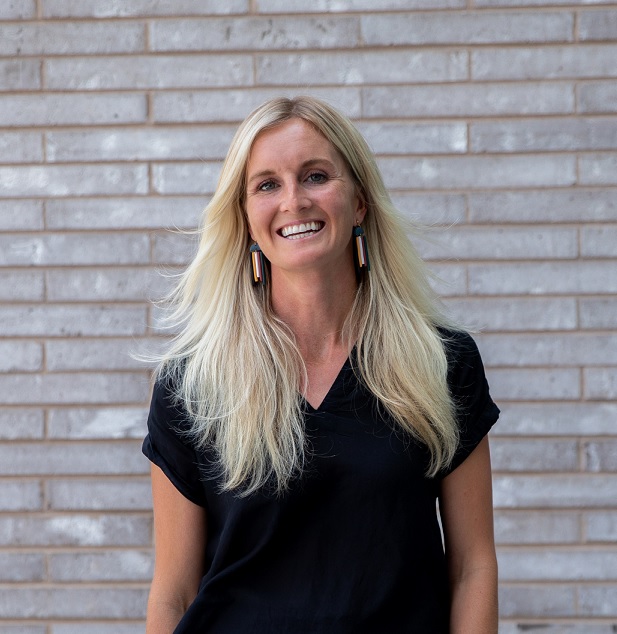
Katrina McCarthyCo-Founder and Director, NJ MAP Katrina McCarthy is the Director and Co-founder of NJ MAP, a parcel-level interactive map atlas launched in 2012. As Director of NJ MAP, Katrina oversees all aspects of geospatial research projects from start to finish. She is a member of the Conservation Blueprint leadership team and has a passion for supporting environmental advocacy efforts. She specializes in matching up customized geospatial information and grant funding to tackle a myriad of NJ specific topics including farmland and open space preservation, climate adaptation, smart growth, conservation, land stewardship, affordable housing, and land use change. Katrina strives to share NJ MAP as a platform that simplifies access to tools and information that may foster more sound planning for all 564 municipalities in the state. |
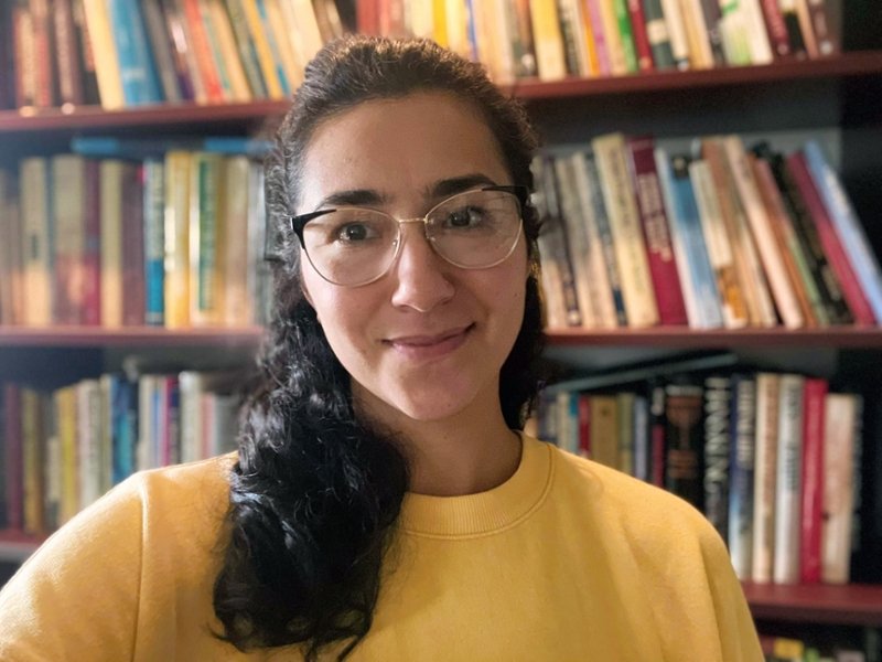
Makenzie FrancoWeb Mapping Specialist and Project Manager, NJ MAP Makenzie Franco works with the Rowan University Geospatial Research Lab on the NJ MAP project, creating data-driven visual tools that aim to help NJ planners, municipalities, counties, or individuals make smarter decisions on how to use their land in sustainable ways. Her role is primarily in spatial data modeling, organization and updates, project management and web and layout design. |