Our Graduate Courses
Our Graduate Courses
Graduate Courses
Exciting Environmental Graduate Courses Offered Summer and Fall 2023 @ Rowan University
The Department of Geography, Planning, & Sustainability
The Department of Geography, Planning, & Sustainability
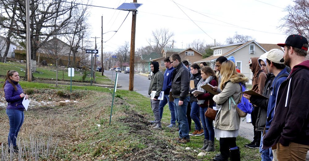
Our Department offers a welcoming and supportive environment for graduate students in our programs, those from across the University seeking electives, and undergraduates seeking senior privilege courses.
If you have any questions about the courses below, please do not hesitate to the contact the department.
Fall 2023
Sustainability Assessment | ENST 94502 | Offered fully online | CRN = 40474
No prerequisite.
Students will learn different approaches for setting sustainability goals, measuring progress towards sustainability outcomes, and managing so-called "sustainability transitions." Students will learn about the increasingly important role of sustainability officers in different firms, and gain exposure to concepts and practices in sustainability reporting for both shareholder, regulatory, and scientific purposes. This course may be offered online.
Geovisualization | GEOG 16661 | Offered fully online | CRN = 40545
Prerequisite: GEOG 31660 or Permission of Instructor.
This course explores geographic visualization (Geovisualization) and related cartographic and graphic design techniques. The course content is primarily focused on GIS-based spatial planning, design, analysis, and 2D/3D visualization techniques. Students are exposed to the basic knowledge of using GIS and Geovisualization in site analysis, site design, public participatory GIS (PPGIS), and design charrettes. The concepts of qualitative Geovisualization and other emerging tools and techniques are also introduced.
Introduction to Mapping and GIS | GEOG 16560 | Tuesday evenings: 5:30 to 8:15 p.m. | face-to-face | CRN = 40558
Introduction to Mapping and GIS | GEOG 16560 | Offered fully online | CRN = 40559
No prerequisite.
This course provides the student with the conceptual tools required for intelligent and critical use, interpretation, and analysis of maps. In addition, the course furnishes the student with an introduction to and overview of the mapping sciences. Students learn the concepts, methods, and techniques common to the several branches of the mapping sciences and are introduced to cartography, satellite remote sensing, computer-assisted cartography, and geographic information systems. This course is targeted toward graduate students and serves as a prerequisite for Fundamentals of Geographic Information Systems or another program elective.
Fundamentals of GIS | GEOG 31660 | Monday & Wednesday afternoons: 12:30 to 3:15 p.m. | face-to-face | CRN = 40536
Prerequisite: GEOG 16560 or Permission of Instructor; Prior GIS experience required.
This course introduces students to the concepts and applications associated with creating, maintaining, analyzing, displaying, and interpreting geospatial data. Through the completion of activities and assignments, students gain experience with the fundamental tools for geospatial analysis, coupled with the knowledge of how best to apply them to real-world issues in the natural and human landscapes. This course is suitable for planners, geographers, and relevant professionals.
Web-Based GIS Mapping GIS | GEOG 16562 | Offered fully online | CRN = 40467
Prerequisite: GEOG 16560 or Permission of Instructor; Prior GIS experience required.
This course introduces web-based mapping technologies and applications. Students will gain the skills of creating their own map services which can then be used to create custom web-based maps. The course will focus on both open-source and commercial software packages to produce mapping and data services. Students will also explore the client-side offerings to produce mapping applications. The course culminates in a final web mapping project. This course is targeted toward graduate students.
Drones, Planes, and Satellites | GEOG 16670 | Friday morning: 9:30 a.m. to 12:15 p.m. | face-to-face | CRN = 41478
Prerequisite: GEOG 16560 or Permission of Instructor; Prior GIS experience required.
This course introduces students to techniques of spatial analysis using satellite imagery and aerial photography. It intersperses practical exercises in photo interpretation and digital image processing with demonstrations that include a wide range of photographic and non-photographic source material, including infra-red thermal and micro-wave images, digital orthographic photos as well as LANDSAT and other satellite platforms. This course is targeted toward graduate students.
Introduction to Planning: Past, Present, & Future | PLAN 31580 | Tuesday evenings: 5:30 to 8:15 p.m. | face-to-face | CRN = 40583
No prerequisite.
This course focuses on the comprehension, representation, and use of ideas and information in the planning field, including appropriate perspectives from history, social science, and the design professions. Course content offers the primary reasons planning is undertaken by communities, cities, regions, and nations, and the impact planning is expected to have. Specific topics include history of human settlements, planning history, planning theory, global dimensions of planning, and planning processes to influence the future.
Graduate Seminar in Food Systems Planning | PLAN 31587 | Monday afternoon: 12:30 p.m. to 3:15 p.m. | face-to-face | CRN = 40579
No prerequisite.
This graduate level course explores the food supply chains within the US that brings food from the field to the table and describes the ways that planners are utilizing traditional planning tools to build more sustainable and resilient regionally based food systems. Students will compare both conventional and alternative supply chains identifying the benefits and limitations of both, as well as examine the policy and programmatic initiatives taken by planners to maximize these benefits and minimize these limitations. Additional topics include land conservation, food access, urban agriculture and economic development.
Planning Communication | PLAN 31593 | Hybrid format with face-to-face sessions on 10/18, 11/8, and 11/29 | CRN = 40584
No prerequisite
The aim of this course is to prepare students for planning and relevant professions by ensuring that they are aware of and trained in proper professional communications standards. Students recognize the need for appropriate outreach strategies for communicating with the public and gain knowledge to develop and utilize tools for effective in-person or virtual stakeholder engagement. In addition to basic written, oral, and graphical communication skills, this course introduces skills related to leadership, team building, facilitation, mediation, community motivation development, and strategic decision making.
Planning Practice, Law, Ethics | PLAN 31685 | Thursday evenings: 5:30 to 8:15 p.m. | face-to-face | CRN = 40585
Prerequisite: Permission of Instructor.
This three-module course prepares students for the professional planning field by introducing topics related to planning practice, planning law, and planning ethics. The first module is focused on the roles of officials, stakeholders, and community members in planned change. It also introduces economic, infrastructure, social, and cultural factors to urban and regional growth and change. The second module provides legal and institutional contexts within which planning occurs. The final module presents key issues of planning ethics and related questions of the ethics of public decision-making, research, and client representation.
Community Planning, Engagement, and Design | PLAN 31686 | Monday evenings: 5:30 to 8:15 p.m. | face-to-face | CRN = 40586
Prerequisite: Permission of Instructor.
This course focuses on the design, arrangement, appearance, and functionality of building sites, neighborhoods, towns and cities, as well as the shaping and uses of safe public spaces. It explores sustainable design principles, techniques, and practices related to physical or spatial planning and urban design. Students